Section 14: Gainesboro
Siler, VA to Gore, VA, 11.1 miles.
PATC Map L, Guide to the South Half of the Tuscarora Trail
Max Elevation: 990 ft. Min Elevation: 600 ft.
Highlights:
Access: The trail can be accessed from both the southern and northern termini of section 14:
Siler, VA. Va Route 600 and 690 (39.351, -78.240)
US Route 50, limited shoulder parking (39.268, -78.314).
Additional Road Access:
Va Route 698, Basore Ridge Shelter access (39.323, -78.258).
Advisory: Note, the Basore's Ridge portion of Section 14 is currently closed. The trail has been rerouted onto Va 689, Adams Rd.
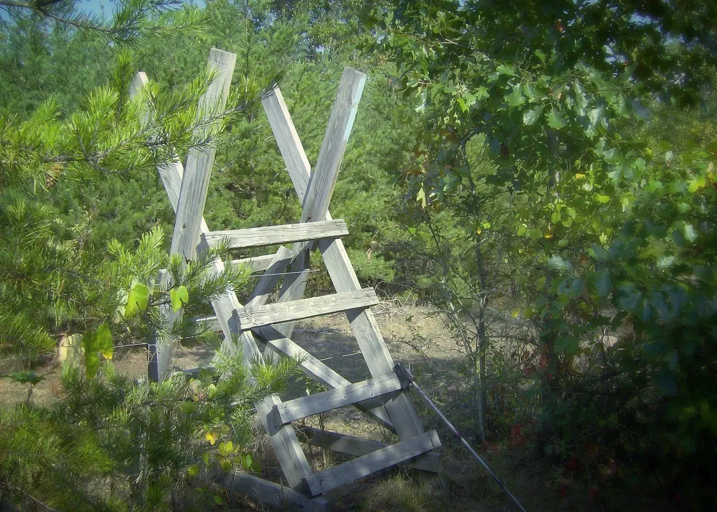
Camping: Basore Ridge Shelter (39.324, -78.255)
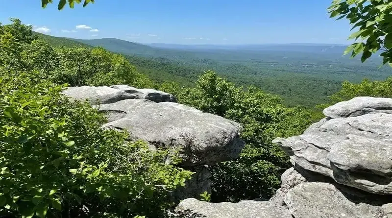
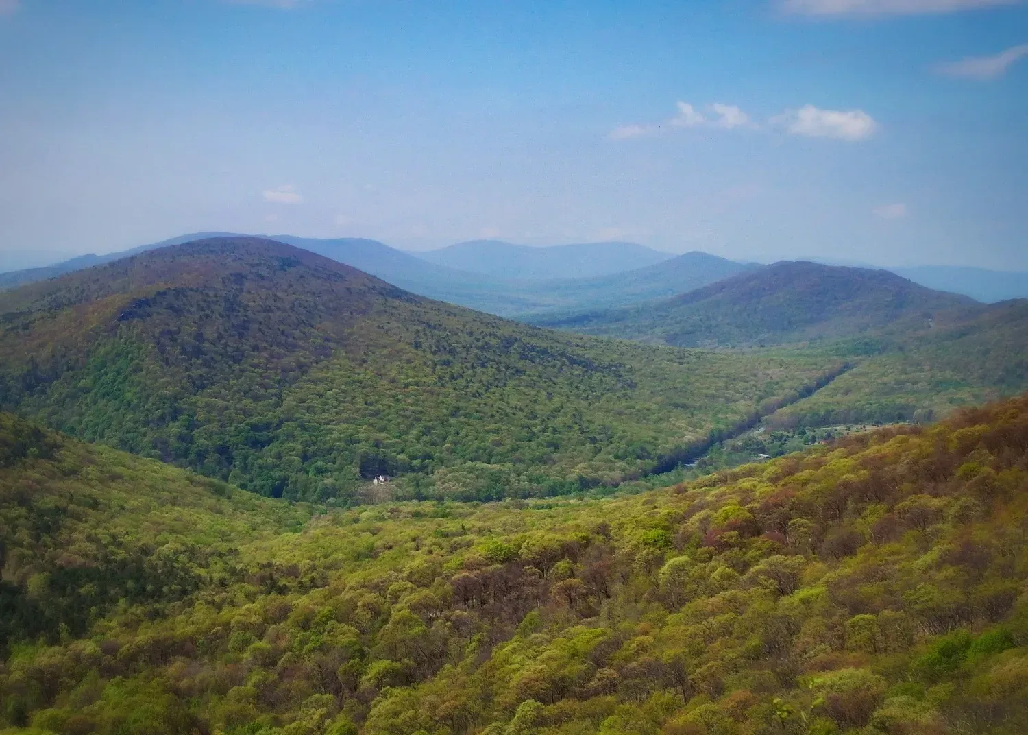
Pinnacle Overlook
Section 15: Devils Backbone
Gore, VA to West Virginia State Line, 10.4 miles
PATC Map L, Guide to the South Half of the Tuscarora Trail
Max Elevation: 2515 ft. Min Elevation: 670 ft.
Highlights: Pinnacle overlook
Access: The trail can be accessed from the northern terminus of section 15:
US Route 50, limited shoulder parking (39.268, -78.314).
No direct access to southern terminus, but can be accessed from the Lucas Woods side trail with road access at WV 23/2 (39.183,-78.432)
Additional trail connections in section 15: Gore Connector Trail, Biby Wilderness Trail, Fry Path, Lucas Woods Trail.
Advisory: Section Updates
Camping: Barclays Run Shelter (39.253, -78.319), Pinnacle Shelter (39.193, -78.3815), Pinnacle Camp (39.193,-78.385), Lucas Woods Hiker Camp (39.177, -78.409).
Section 16: Capon Springs
West Virginia State Line to Dry Gap, 7.8 miles.
PATC Map L, Guide to the South Half of the Tuscarora Trail
Max Elevation: 2850 ft. Min Elevation: 2105 ft
Highlights: Eagle Rock overlook
Access: The trail can be accessed from the southern terminus of section 16:
Capon Springs Road, Route 609 (39.110,-78.478).
No direct access to northern terminus, but can be accessed from the Lucas Woods side trail with road access at WV 23/2 (39.183,-78.432).
Advisory: Trail follows easements on private property, stay on trail at all times, no camping.
Links: Capon Springs Resort