
Established in the 1960's as an alternate route for the Appalachian Trail (AT), the Tuscarora Trail is a 250-mile long trail through the Ridge and Valley Appalachians of Virginia, West Virginia, Maryland and Pennsylvania. More recently, sections of the Tuscarora from Mill Mountain in West Virginia to Cove Mountain in Pennsylvania, have been included in the long-distance Great Eastern Trail.
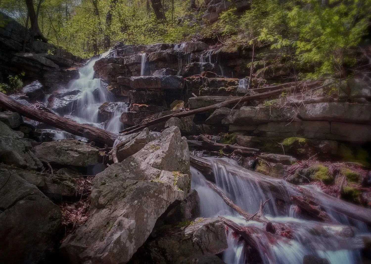
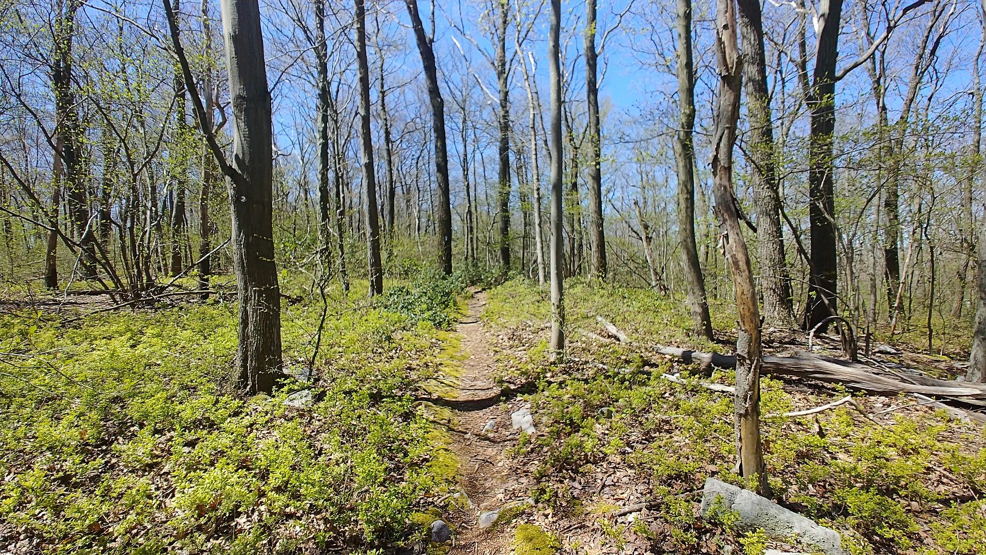
A hiking destination in its own right, the Tuscarora Trail leaves the AT near Mathews Arm Campground in Shenandoah National Park making its way west and north to rejoin the AT atop Blue Mountain, 10 miles south of Duncannon, Pa. Coupling the experience of remote wilderness, green pastures, small towns, rugged tread-way and country back roads, the Tuscarora offers a truly unique hiking adventure.
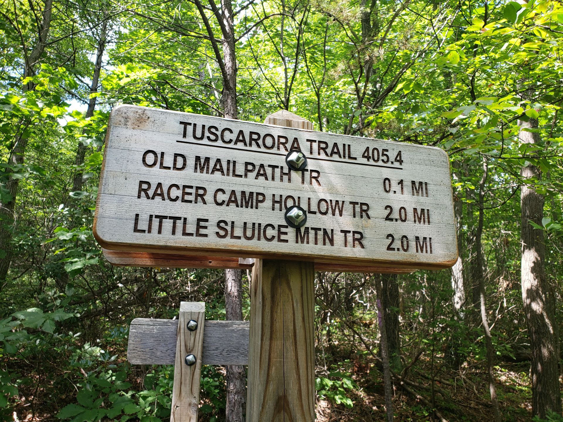
Tuscarora Signs Project
One of the challenges of maintaining the Tuscarora Trail has been its incomplete, inconsistent, and inadequate signage. Part of a grant has been used by PATC volunteers to design and purchase hundreds of new full-color directional signs that will guide hikers through the entire 250 miles. These signs are now fully installed. Thanks to all the volunteers for their hard work getting them in and up on the trail.
Maps + Guidebooks
The PATC publishes five regularly revised and updated topographic maps and two guidebooks covering the entire length of the Tuscarora Trail, which may be purchased from the online store.