
Section 7: Tuscarora Summit
Cowans Gap State Park to PA 16, 9.6 miles
PATC Map K, Guide to the North Half of the Tuscarora Trail
Max Elevation: 2400 ft. Min Elevation: 790 ft.
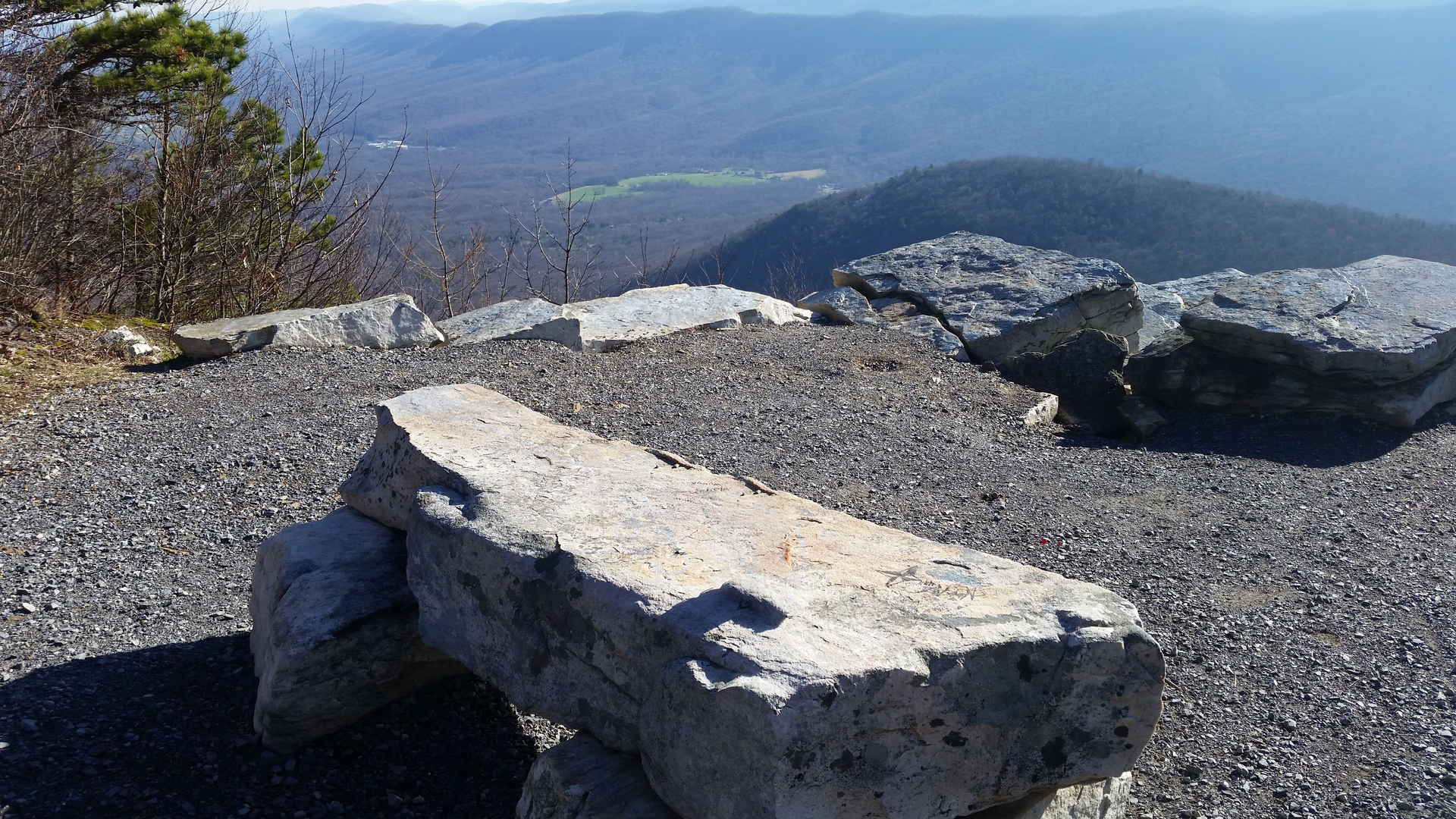
Highlights: Big Mountain overlook. Great Eastern Trail joins/leaves the TT from/on Standing Stone Trail in Cowans Gap State Park.
Access: The trail can be accessed from both the southern and northern termini of section 7:
Cowans Gap State Park (39.999,-77.921)
PA Route 16: (39.893,-77.967)
Additional Road Access:
US Route 30, Tuscarora Summit (39.916, -77.9565)
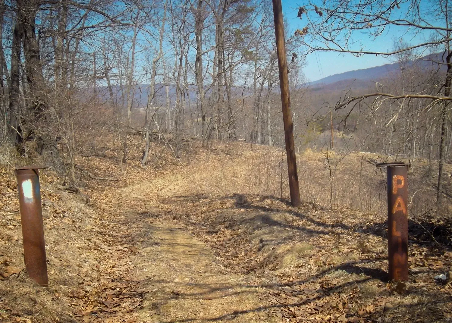
Additional trail connections in the Buchanan State Forest and Cowans Gap State Park include: Standing Stone Trail, Geyer Trail, Logslide Trail, Richmond Trail, Fore Trail, Lincoln Trail.
Advisory: Exercise caution in Buchanan State Forest during hunting season.
Camping: Big Mountain Shelter (39.952, -77.943), Cowans Gap State Park. Primitive camping is allowed throughout Buchanan State Forest with free permit.
Links: Buchanan State Forest Cowans Gap State Park

Section 8 The Lockings
PA 16 to PA 456, 13.9 miles
PATC Map K, Guide to the North Half of the Tuscarora Trail
Max Elevation: 2080 ft. Min Elevation: 525 ft.
Highlights: The Lockings overlook
Access: The trail can be accessed from both the southern and northern termini of section 8:
PA Route 16: (39.893,-77.967)
Fort Davis Road (39.748,-78.045)
Additional trail connections in SGL-124 include: Alice Trail, Reese Hollow Trail, Hells Hill Trail, Yellow Trail
Advisory: No primitive camping allowed in SGL #124. Exercise caution in SGL #124 during hunting season. Section Update
Camping: Reese Hollow Shelter (39.852, -77.979), PATC Little Cove Cabin (by reservation only).
Section 9: Licking Creek
PA 456 to the C&O Canal , 9.0 miles.
PATC Map K, Guide to the North Half of the Tuscarora Trail
Max Elevation: 760 ft. Min Elevation: 380 ft.
Highlights: Mason-Dixon Line
Access: The trail can be accessed from both the northern and southern termini of section 9:
Fort Davis Road (39.748,-78.045)
End of Licking Creek Access Road (39.657, -78.055)
Additional road access:
Camp Harding Park on Pectonville Road (39.670,-78.041)
Advisory: Exercise caution in Indian Springs WMA during hunting season. Section Update
Camping: Licking Creek Campground (39.651, -78.048)
Links: Indian Springs WMA, C&O Canal NHP
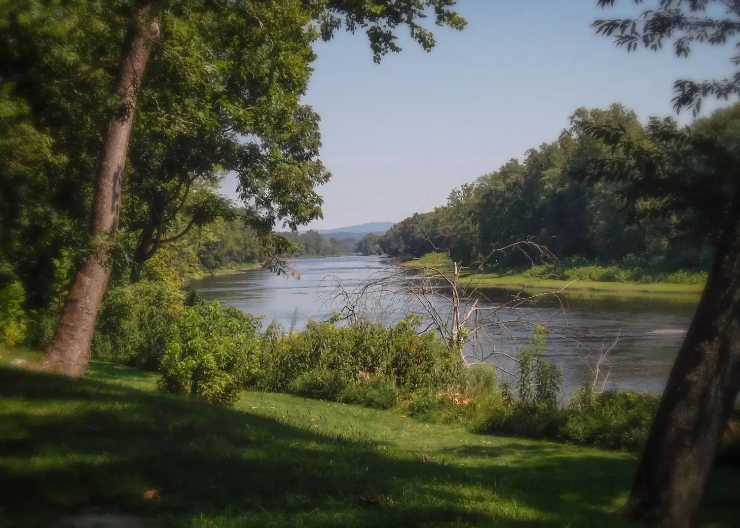
Section 10: C&O Canal
C&O Canal to Hancock, MD, 7.9 miles.
PATC Maps K and L, Guide to the North Half of the Tuscarora Trail
Max Elevation: 395 ft. Min Elevation: 415 ft
Highlights: C&O Canal NHP Visitor Center, Little Tonoloway Day Use Area
Access: The trail can be accessed from both the northern and southern termini of section 10:
End of Licking Creek Access Road (39.657, -78.055)
Little Tonoloway Day Use Area (39.698,-78.182)
Additional Road Access:
Little Pool C&O Canal Parking (39.684,-78.104)
Hancock Visitor Center (39.695,-78.154)
Advisory: None
Camping: Licking Creek Campground (39.651, -78.048), Little Pool Campground (39.685, -78.113)
Links: C&O Canal NHP