
Section 1: Sterretts Gap
Appalachian Trail to Waggoners Gap, 12 miles.
PATC Map J, Guide to the North Half of the Tuscarora Trail
Max Elevation: 1620 ft. Min Elevation: 930 ft.
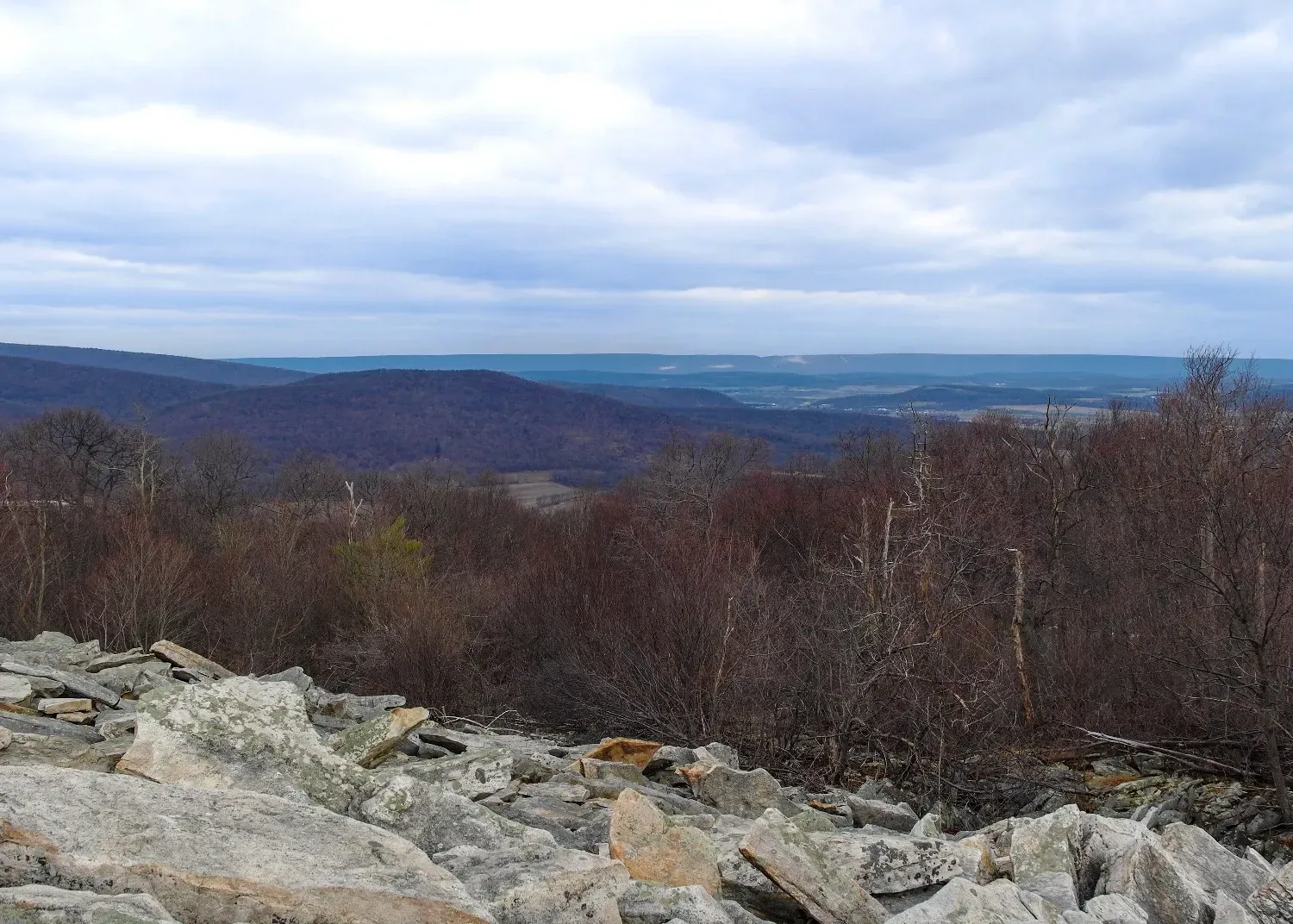
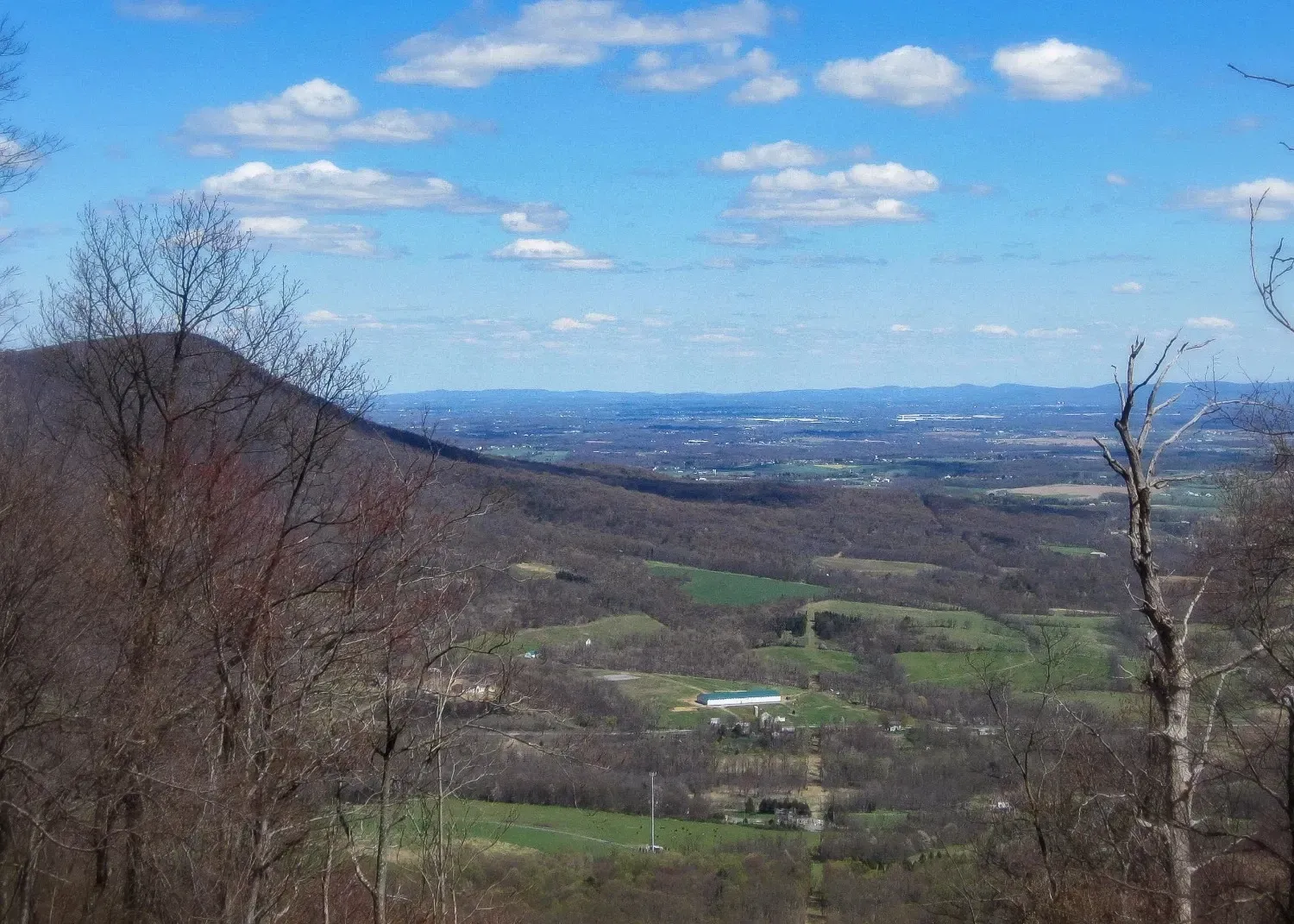
Highlights: Trail Register and Longs Gap overlooks, Audubon Hawk Watch, historical marker at Sterretts Gap.
Access: No direct access to northern terminus at AT, trail must be approached from either SB/NB on AT or WB on Darlington Trail.
Waggoners Gap: Parking at Audubon Hawk Watch (40.279, -77.276).
Advisory: Narrow shoulder along PA-34 in Sterretts Gap (speed limit 45 MPH); extremely rocky tread through F.J. Reineman Wildlife Sanctuary north of Audubon Hawk Watch. In F.J. Reineman Wildlife Sanctuary, hikers must stay on trail, camping/fires are prohibited and pets must be kept on leash. No camping in State Game Lands (SGLs) #170 and #230. Exercise caution in SGLs during hunting season.
Camping: Darlington Shelter (0.2 mi NB on AT @ 40.302, -77.087)
Links: PA State Game Lands
Section 2: Flat Rock
Waggoners Gap to Col. Denning State Park, 13.2 miles
PATC Map J, Guide to the North Half of the Tuscarora Trail
Max Elevation: 1965 ft. Min Elevation: 750 ft.
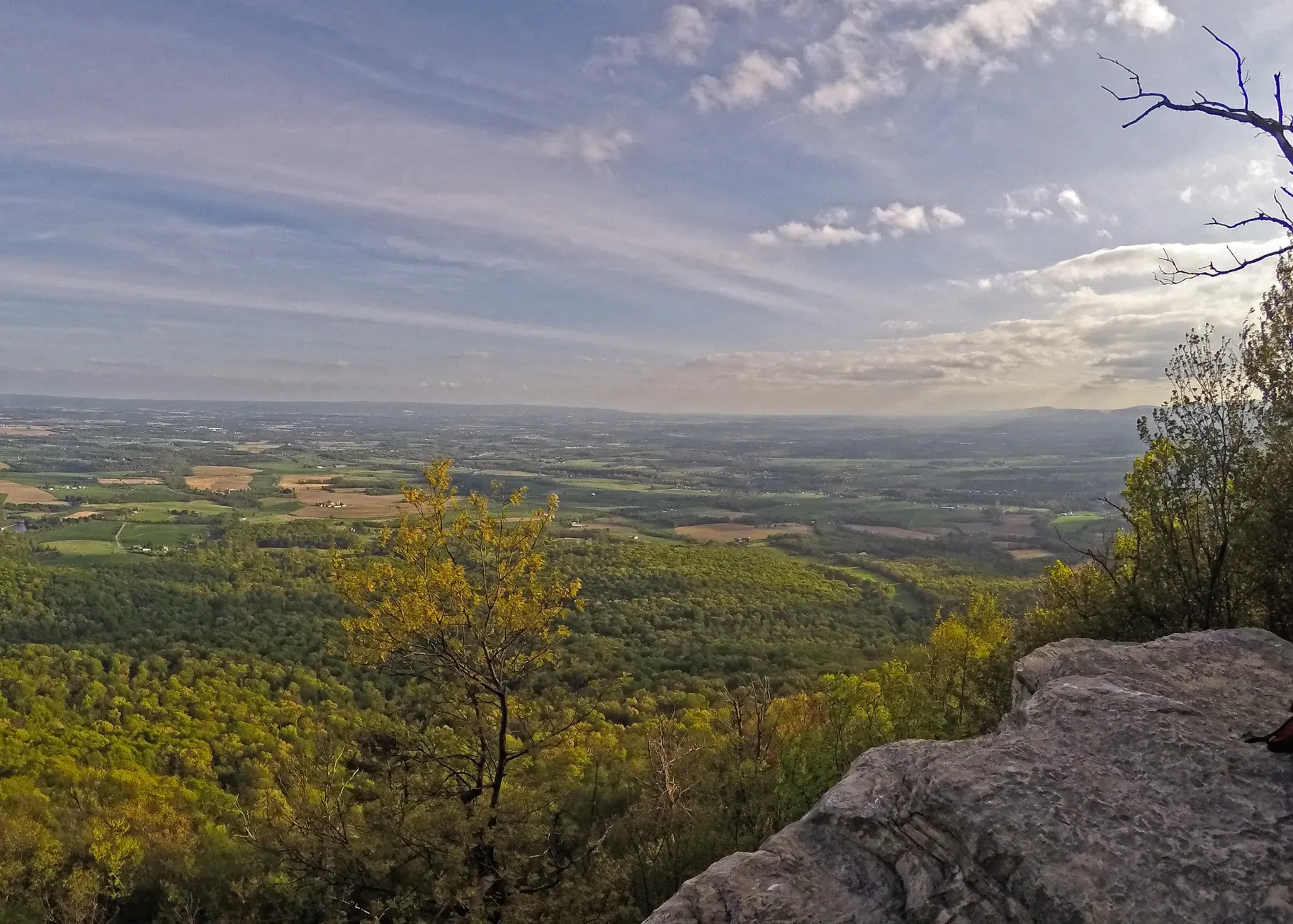
Highlights: Flat Rock overlook.
Access: The trail can be accessed by road from both the northern and southern termini of section 2:
Waggoners Gap: Parking at Audubon Hawk Watch (40.279, -77.276).
Col. Denning State Park: PA-233 at Elk Hill Road (40.274, -77.427)
Additional trail connections in Col. Denning State Park include:
Flat Rock Trail, Woodburn Trail, Warner Trail.
Advisory: Extremely rocky tread through F.J. Reineman Wildlife Sanctuary south of Audubon Hawk Watch. In F.J. Reineman Wildlife Sanctuary, hikers must stay on trail, camping/fires are prohibited and pets must be kept on leash.
Camping: Charlie Irvin Shelter (40.273,-77.291), Wagon Wheel Shelter,(40.267,-77.414), Col. Denning State Park.
Links: Col. Denning State Park
Section 3: Blue Mountain
Col. Denning State Park to Cowpens Road , 8.1 miles.
PATC Map J, Guide to the North Half of the Tuscarora Trail
Max Elevation: 2090 ft. Min Elevation: 759 ft
Highlights:
Access: The trail can be accessed by road from both the northern and southern termini of section 3:
Col. Denning SP: Parking at PA-233 at Elk Hill Road (40.274, -77.427).
Tuscarora State Forest: Parking at Cowpens Road (40.219, -77.543).
Additional trail connections in the Tuscarora State Forest include: Bill Miller Trail, Phoenix Trail.
Advisory: Exercise caution in Tuscarora State Forest during hunting season.
Camping: Col. Denning SP. Primitive camping is allowed throughout the Tuscarora State Forest. Camping is limited to one night without a permit.
Next Section >>>